Forth & Clyde Canal at Cadder Wharf
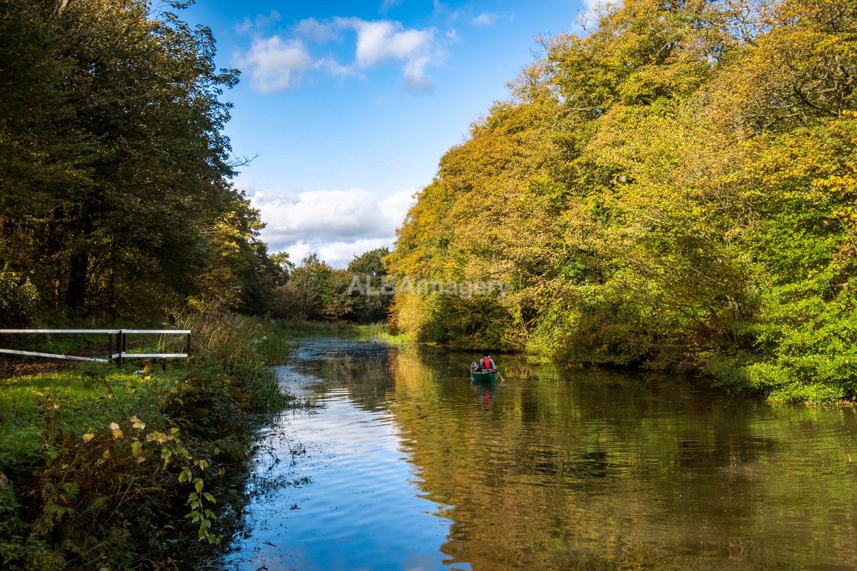
Image taken : 2021-10-14 - 13:56 Fujifilm X-T30, XF 18-135mm f4 R LM OIS WR @ 26.60mm, 1/60, f/15, ISO160.
Cadder (Scottish Gaelic: Coile Dobhair), not to be confused with the Glasgow area of a similar name, is a district of the town of Bishopbriggs, East Dunbartonshire, Scotland. It is located 7 km north of Glasgow city centre, 0.5 km south of the River Kelvin, and approximately 1.5 km north-east of Bishopbriggs town centre, sited on the route of the Forth and Clyde Canal.
In antiquity, Cadder was the site of a Roman fort on the route of the Antonine Wall. Its neighbouring forts are Balmuildy to the west and Kirkintilloch to the east although there are intermediate fortlets at Wilderness Plantation to the west and Glasgow Bridge to the east. The Second Legion may have been responsible for building the fort. John Clarke of the Glasgow Archaeological Society excavated the remains in the 1930s. Sir George Macdonald also wrote about the excavation of the site. The site was destroyed by sand quarrying in the 1940s. A sketch of the medieval motte made by Skinner still survives. One find at Cadder was an oil lamp which is associated with the bath house of the fort. Before the Reformation the lands of Cadder and the kirk belonged to the Bishops of Glasgow. In the 18th century James Dunlop of Garnkirk being a wealthy landowner opposed Thomas Muir and the congregation at Cadder over who appointed their minister. Cadder Parish Church was described in the 19th century as a neat modern Gothic church. Cadder House was a property held by the Stirling family for generations.
The note above is taken from the Wikipedia article "Cadder", which is released under the Creative Commons Attribution-Share-Alike License 3.0.
Check map position at Cadder Wharf (Opens in new window)