Loch Loyne Panorama
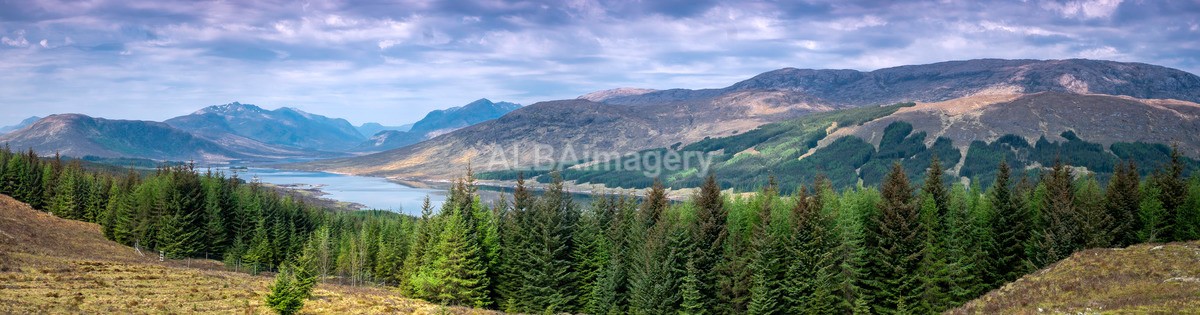
Image taken : 2019-05-16 - 11:06, Fujifilm X-Pro2, XF 18-55mm f2.8-4 R LM OIS @ 35.8mm, 1/40sec, f/8, ISO200. (Stitched)
Ultra-wide panorama of Loch Loyne taken from the viewpoint just off the A87.
Loch Loyne is a loch in the Northwest Highlands of Scotland. Loch Loyne lies between Glen Garry and Glen Cluanie. The A87 road runs beside the eastern side of the loch.
Prior to the 1950s, the loch was originally much smaller being fed only by the naturally occurring River Loyne. However, as part of a wider Hydroelectric scheme, a dam was constructed in 1956 and completed in 1957 that increased the water level and flooded the original road built by Thomas Telford. A newer road, the current A87, was built higher up. The loch is visible to traffic on the road above. Water proceeds north from the dam via a tunnel into Loch Cluanie.
The note above is taken from the Wikipedia article "Loch Loyne", which is released under the Creative Commons Attribution-Share-Alike License 3.0.
Check map position at Loch Loyne Viewpoint (Opens in new window)