St Mary's Loch
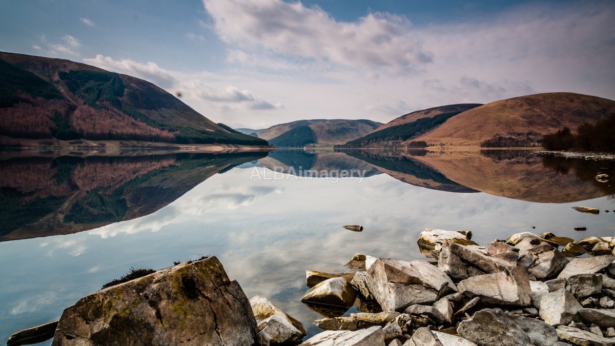
Image taken : 2011-03-29 - 10:28, Canon EOS 40D, EF-S 17-85mm f4-5.6 IS USM @ 17.00mm, 1/20, f/18, ISO200.
St Mary's Loch is the largest natural loch in the Scottish Borders, and is situated on the south side of the A708 road between Selkirk and Moffat, about 72 kilometres (45 mi) south of Edinburgh.
It is 5 kilometres (3.1 mi) long and 1 kilometre (0.62 mi) wide, and was created by glacial action during the last ice age. The loch is fed by the Megget Water, which flows in from the Megget Reservoir, and is the source of the Yarrow Water, which flows east from the loch to merge with the Ettrick Water above Selkirk.
It connects by a short section of river to the Loch of the Lowes, immediately to the south. Between the two, connected by an old arched bridge, is Tibbie Shiel's Inn, an 18th-century coaching inn, which was frequented by the Border poet James Hogg (1770–1835). The inn is now privately owned.
The note above is taken from the Wikipedia article "St Mary's Loch", which is released under the Creative Commons Attribution-Share-Alike License 3.0.
Check map position at St Mary's Loch (Opens in new window)